or: Is the IPO-office cut off the UMass campus?
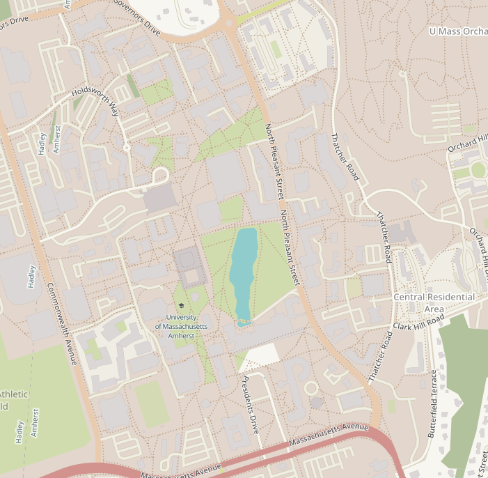
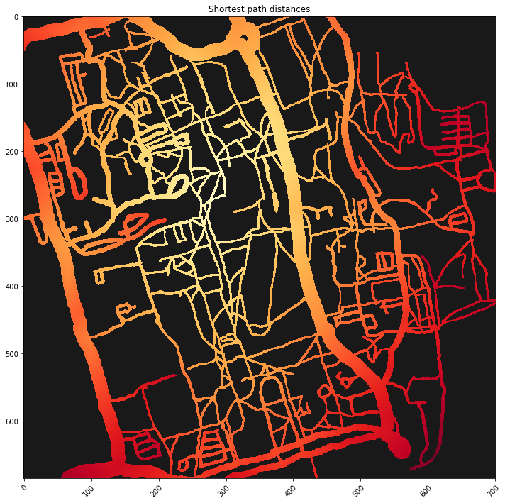
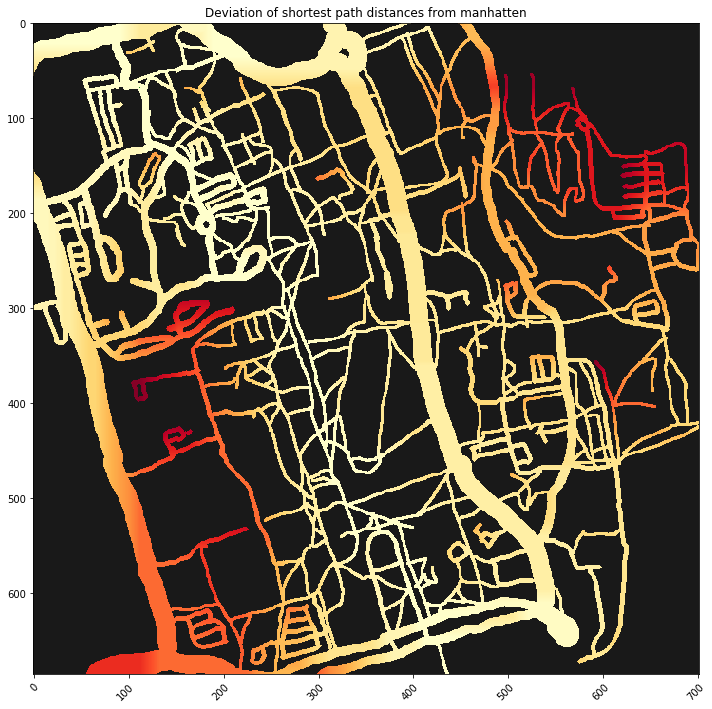
The idea for this small project was genereated while I walked across the UMas-Campus realizing that there are some spots which are near by map but far if you actually walk there. I tried to find out this places algorithmically by comparing the shortest paths to the actual walking distances. Enjoy the plots
I tried to visually highlight spots on a map which are difficult to reach. In this context I mean by difficult to reach that you have to make a longer detour compared to other spots which are similarly far away.